Wilde Kreuzspitze, Napfspitze & co.
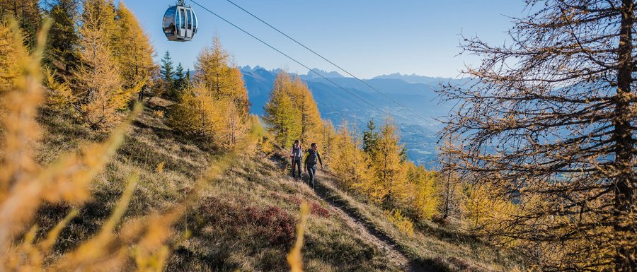
Have you heard of the Big Five – the highest peaks in the Gitschberg Jochtal holiday area? If you are a passionate summiteer planning a hiking trip in South Tyrol, these five giants are worth adding to your bucket list. Wilde Kreuzspitze is the highest peak in the Pfunders mountains. If you want to conquer it, you will have to reckon with a six-hour hike covering over 11 kilometres and an elevation gain of 1,813 metres. Napfspitze, Eidechsspitze, Seefeldspitze and Astjoch are not easy strolls either, but just like Wilde Kreuzspitze, they will make your hiking holiday the highlight of your year.
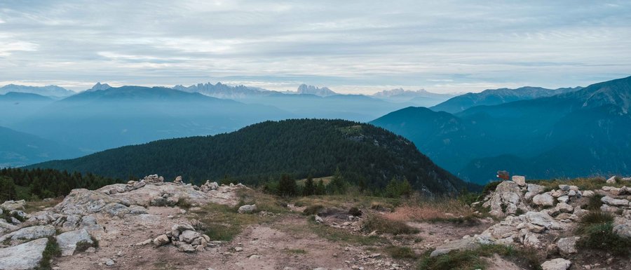
Make sure you have enough storage on your camera or smartphone, because the views you are going to see both en route and from the summits are worth a thousand shots! In the meantime, here are a few more details about the Big Five...


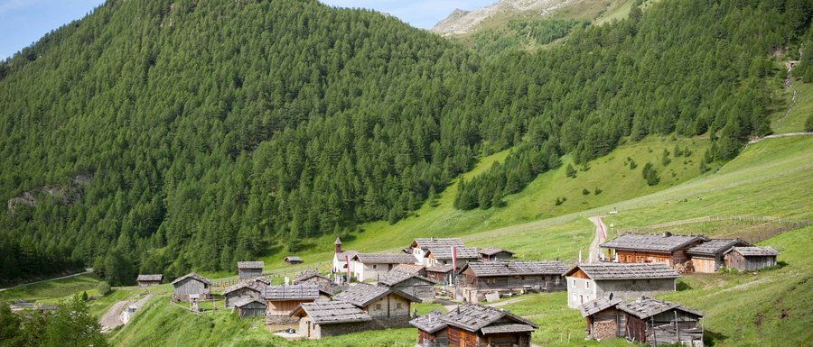
To climb Wilde Kreuzspitze, you can start off from the car park at the head of the valley in Vals. The first stretch of this hike takes you to Fane Alm, the most beautiful alpine village in South Tyrol. (If you prefer, you can take the shuttle there.) From Fane Alm, the route continues along trail no. 17 to the Schrammeschlucht gorge, then on to the Labesebenalm pasture, and along trail no. 18 to the Wildensee lake, at the foot of Wilde Kreuzspitze. To reach the summit, you will have to cross the Rauhtaljoch saddle. Enjoy the jolt of elation that courses through you up there at over 3,000 metres! On the way back, you can either go the same way or take an alternative route from the Rauhtaljoch saddle via the Brixnerhütte hut, which commands a fantastic view of the Wurmaulspitze peak.
On the way to the Wilde Kreuzspitze summit, you will encounter the Rauhtaljoch glacier fields. You don’t have to go through them, but they will make a lovely and unusual backdrop for your summer holiday snapshots!
The tour to the Napfspitze summit starts at the Dun car park, which is at the head of the valley in Pfunders (1,442 metres). From there, follow trail no. 13 until you reach the sparkling turquoise waters of the Eisbruggsee lake and then the Edelrauthütte hut. From there, all you have to do is climb to the summit and find out for yourself why the locals call Napfspitze “Aussichtsberg” (panoramic mountain). Take a moment to soak up the spectacular view over the glaciers of the Zillertal Alps and the Hochfeiler, Hoher Weißzint and Schwarzenstein mountains, with the Eisbruggsee and Seeberg lakes shimmering below you. The way back is along the same path.
The rocky landscape surrounding the Edelrauthütte hut deserves to be captured – as does the view from the summit, of course!
Starting from the car park, take trail no. 22 to the Englalm hut (not serviced) and on to the Kompfosshüttl hut. Continue along trail no. 22 to the summit via the eastern face. To go back, you can either descend along the same route or make it a circular hike by going past the Kompfoss lake and the Moseralm pasture (not serviced).
Don’t miss the Kompfoss lake, a deep-blue gem at 2,242 metres. It makes a fantastic photograph, especially in the morning, when the surrounding peaks are reflected in its waters.
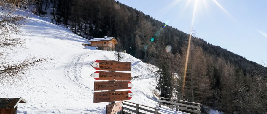
This lengthy summit hike requires stamina and endurance. The route, which leads past three beautiful Alpine lakes, starts by the Altfasstal valley car park. From there, take the path to the Wieserhütte and Pranterstadlhütte huts, where the ascent to the Großer Seefeldsee lake begins, leading you up to an altitude of just under 2,300 metres. Follow the Seefeldbach stream to the Seefeldalm hut (not serviced) and then continue following the Seefeldspitze signposts, branching off slightly to the left. The way back to Meransen is along the same path.
Tip: You can also get to the Seefeldsee lakes along the steep Schellenbergsteig trail (surefootedness required).
The three Seefeldsee lakes are a magnificent photographic subject – both close up and from the Seefeldspitze summit.
The ascent to the Astjoch summit starts by the Zumis car park and crosses the Rodenecker-Lüsner Alp to the Runa Nature Hotel pasture. Continue along trail no. 2 to the Pianer Kreuz chapel and the Starkenfeldhütte hut. From there, take the path leading to the Astalm pasture and follow signpost no. 67 to the Astjoch summit. The way back to the starting point is along the same route.
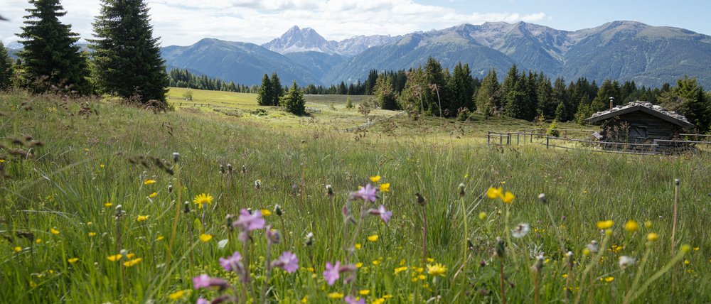
With its flower-dotted meadows, the Rodenecker-Lüsner Alp makes a beautiful photographic subject, especially in summer. From the Astjoch summit, the panorama is quite spectacular.

